
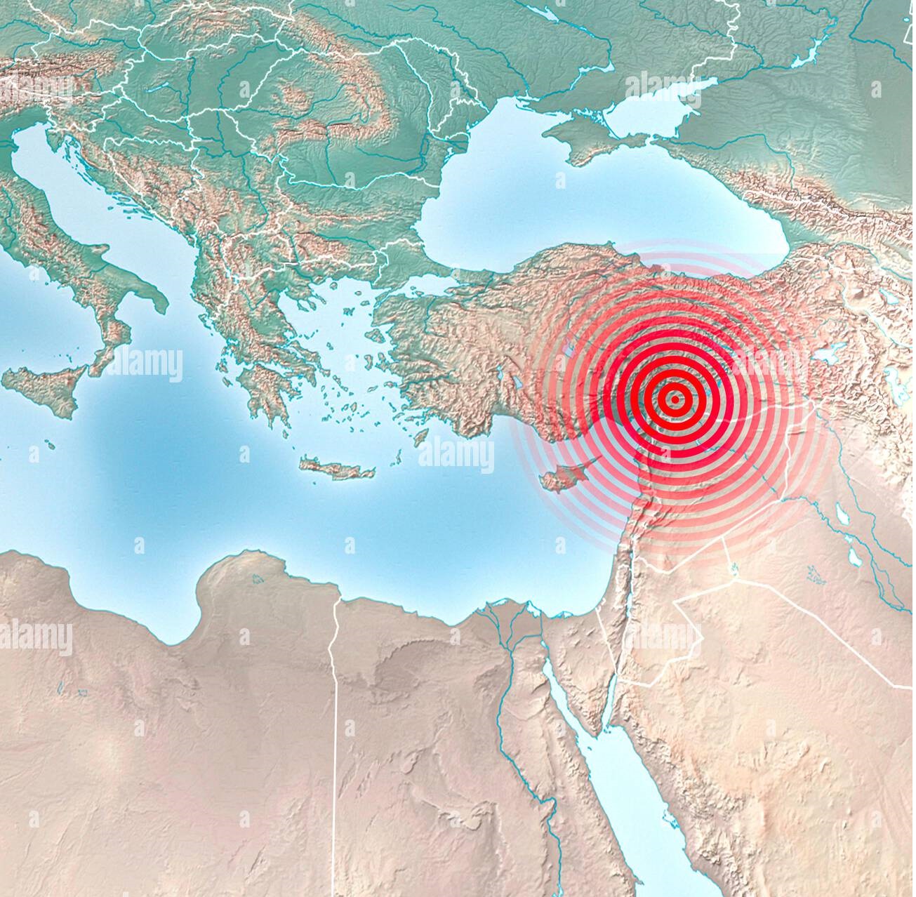
What is GIS?
GIS (Geographic Information Systems) is a tool for managing,
analyzing, and visualizing geographic data. In earthquake
detection, it plays a critical role by:
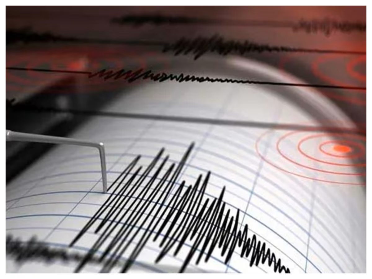
• Collecting & Analyzing Seismic Data
• Real-Time Monitoring
• Hazard Mapping
• Damage Assessment
• Early Warning Systems
GIS helps scientists and emergency responders better understand,
predict, and manage earthquake-related risks.
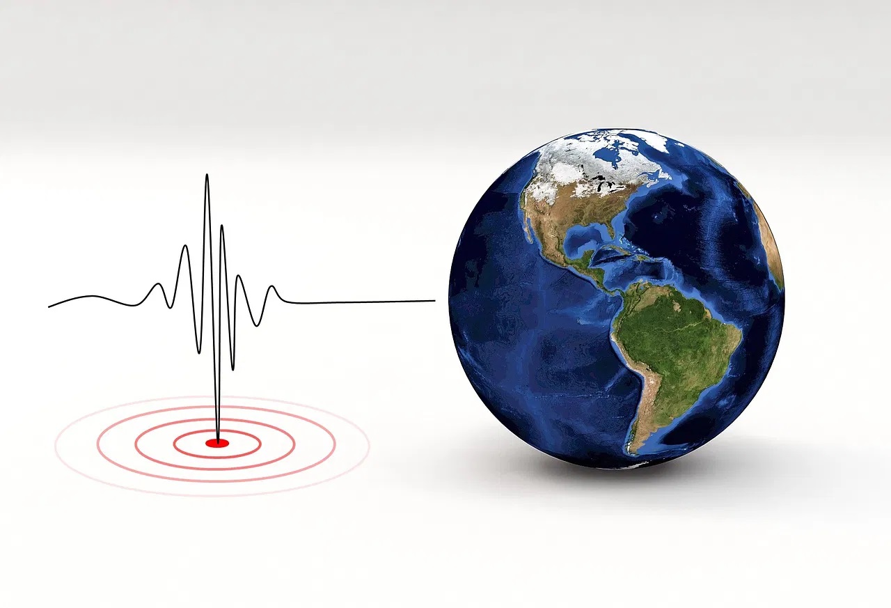
Earthquake Detection
Earthquake detection using GIS involves integrating real-time
seismic data from sensors and accelerometers. GIS helps by:
• Real-Time Data Mapping
• Pattern Analysis
• Alert Systems
• Damage Assessment
By combining location data with seismic information, GIS enables
effective earthquake detection, warning, and response.
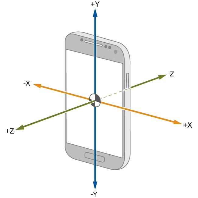
How Our System Works
Our mobile-based system uses the phone's built-in accelerometer to detect abnormal vibrations. These vibrations are analyzed in real-time using frequency thresholds to determine whether they match the pattern of an earthquake. When confirmed, the system triggers alerts and maps the vibration using GIS.
Role of GIS in Our App
GIS enables us to visualize the exact location of the tremor detected by your device and combine it with data from other users. This allows mapping of affected zones, early warnings, and area-specific safety suggestions.
Earthquake Prediction Using Historical Data
Our system will analyze historical vibration patterns and frequencies to recognize early signs of potential quakes. With time, this data-driven model will improve, helping in proactive alerts in future updates.

System Architecture
Below is a simple representation of our architecture from vibration detection to alert generation using GIS. It combines sensor input, frequency analysis, decision logic, and mapping modules.
GIS vs Traditional Earthquake Systems
| Feature | Traditional | Our GIS Approach |
|---|---|---|
| Coverage | Station Limited | Crowdsourced via Mobile |
| Alert Speed | Delayed | Real-time |
| Mapping | Manual | Automatic GIS |

Real-World Use Cases
Our app can be life-saving in areas prone to frequent tremors:
• Rural Villages – Limited monitoring, high
vulnerability.
• Schools & Colleges – Real-time safety
measures.
• Smart Cities – Integrated alerts and response
mapping.
FAQs
- Do I need internet for detection? — No, vibration detection is done offline using the phone's accelerometer. Internet is only needed for alert syncing and GIS mapping.
- Is my location shared? — Only during a confirmed earthquake alert and with full user consent. Privacy is a top priority.
- Can it work when my phone is in my pocket or on a table? — Yes. Our app distinguishes between regular movement and tremors based on frequency and pattern.
- What is GIS and why do we use it? — GIS (Geographic Information System) helps us map and visualize affected areas, making the response smarter and faster.
- How does the system avoid false alerts? — By using a combination of frequency analysis, vibration duration, and cross-verifying signals from multiple users.
- Will it work in airplane mode? — Detection: Yes. Map-based updates: No. Internet is required for real-time mapping.
- Does it use a lot of battery? — The detection is lightweight and optimized for minimal battery usage, especially when running in the background.
- What devices are supported? — Android phones with an accelerometer sensor (most phones have it by default).
- How accurate is the prediction system? — It's experimental right now. With more data, we aim to improve its accuracy over time.
Join Our Mission to Make Earthquake Alerts Smarter
Be part of our beta community and help us improve by testing real-time detection on your device.